

$525,000
0000 County Road 347Chiefland, FL 32626
Listing updated: July 13, 2026 at 5:38 PM ET
Listing courtesy of Anderson Legacy Realty · Candy Anderson · MLS #OM705766 · Active · 352-615-2943Property type
Lot size
HOA dues
Days on market
Flood zone
About this home
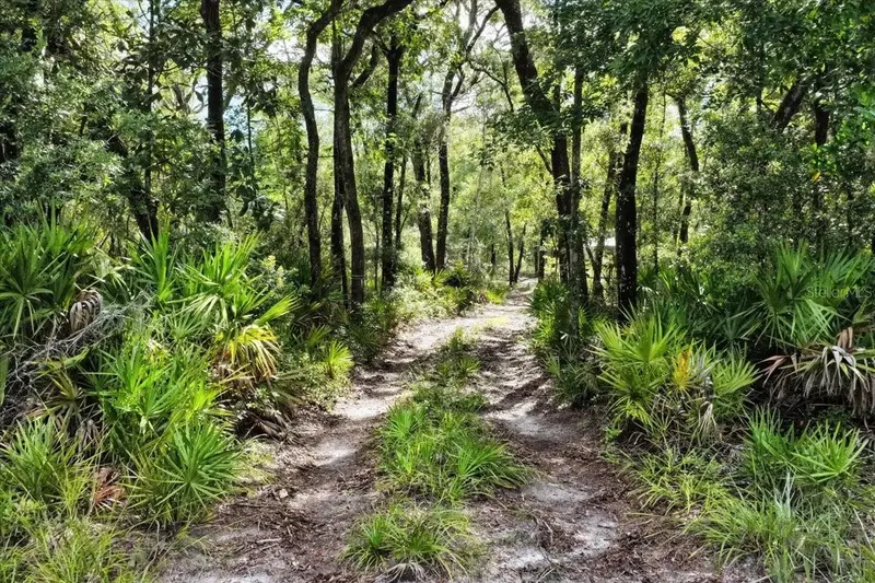
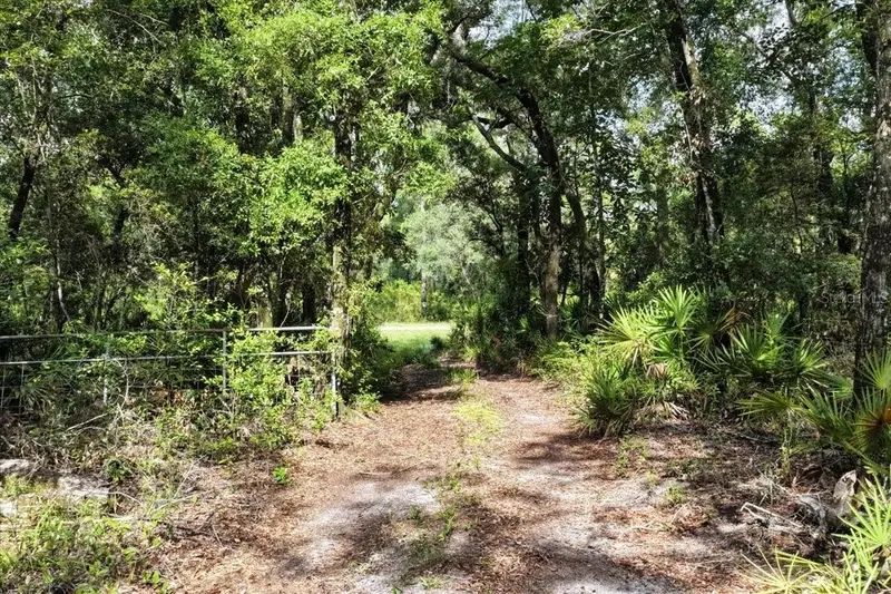
This 79.12 Acre Hunting Camp property is located across the street of the Lower Suwannee Refuge that is Approx. 53,000 Acres of Land!! The property has two parcels that are adjacent to each other there is a 20 acre parcel that is located on CR-347 and the second parcel that is 59.12 acres starts at the back end of the 20 acres and ends at Gator Walk Road and Fox Trot the property includes one Large Camper with well and game cleaning station. The camp is currently off the grid but you want to get electricity the power pole is near by and Also there are Trails, feeders and stands through out the property. There is quality habitat that supports year-round hunting for deer, turkey, and hogs. There are also lots of bear, bobcats, coyotes, panthers and much more in the area. The property is a mix of upland sandhills, bottomland swamps, oak hammocks, thick bedding areas, open areas for food plots. Tree and plant species include oak, bay, maple, palmetto, broadleaf forbs, warm-season grasses, and some pine. Strong populations of deer, turkey, and hogs exist on the property which provide year-round opportunities for great hunting. Well-developed interior and perimeter road system allows for access from any direction—ideal for minimizing pressure on wildlife and optimizing stand entry based on wind. This checks all of the boxes for a great hunting tracts: food, water, bedding, and game flow. The property is located within Tiger Island Sportsman’s Club, with privately owned parcels ranging from 30 to over 100 acres. Tiger Island is minutes from thousands of acres of public hunting land, 15 minutes to Cedar Key and the Gulf of America for fishing and coastal access, close to Suwannee River boat ramps and freshwater springs, 30 minutes to Chiefland for groceries, gas, and Walmart. Major cities including Tampa, Orlando, and Jacksonville are only 2-2.5 hours away. Shown by appointment only to qualified buyers.
Estimated monthly payment
Estimate only. Taxes use the listing's reported amount where available; insurance is a Florida-average estimate. Your actual payment will vary — run a full calculation or talk to a lender.
Price & listing history357 days on market
- Status: ActiveJul 21, 2025
- Listed$685,000Jul 21, 2025
- Price reduced$525,000
Facts & features
- Property type
- Land
- Status
- Active
- Days on market
- 357
- Subdivision
- Tiger Island
- County
- Levy
- Lot size
- 0 sq ft
- Lot category
- 50 to less than 100
- Flood zone
- Zone X
- Annual taxes
- $2,772 (2024)
- Parcel #
- 198040000
- Zoning
- RURAL RESI
- MLS #
- OM705766
Ask about this home
Have a question? Ask the broker directly.
Ryan Solberg answers personally — no call center, no spam. Your question goes straight to him.
HOA & Financial
- HOA fee
- $400 / Annually
- Monthly HOA
- $33/mo
- Total monthly fees
- $33/mo
- Total annual fees
- $400
- HOA name
- Tiger Island Sportsman’s Owners Association/Lisa
- Listing terms
- Cash, Conventional
- Ownership
- Fee Simple
Exterior & Construction
- Road surface
- Asphalt, Paved
Utilities
- Sewer
- None
- Water source
- Private, Well
- Utilities
- Electricity Available, Private, Water Nearby
Community
- Pets allowed
- Yes
Schools
Letter grades: Florida DOE 2024–25 school grades (Orange, Seminole, Lake, Osceola, Brevard). Assigned schools from the listing agent — verify enrollment with the district.
Listing Details
- Listing date
- 2025-07-17
- On market date
- 2025-07-21
- Original list price
- $685,000
- MLS area
- 32626 - Chiefland
- Listing AOR
- Ocala - Marion
- Status changed
- 2025-07-21
- Tax legal description
- 09-14-13 0020.00 ACRES TIGER ISLAND UNREC SURVEY TRACT 18 OR BOOK 1514 PAGE 113 10-14-13 0059.12 ACRES TIGER ISLAND UNREC SURVEY TRACT 36 OR BOOK 1514 PAGE 113
Flood risk
See FEMA for this zone’s designation and insurance requirements.
Source: FEMA flood zone reported on the listing. Confirm current designation at FEMA Flood Map Service Center.
Location
Directions
From : The corner of US HWY 19 & SR - 24 head towards Cedar Key and make a right onto CR-347 go approx. 7.5 miles sign will be on the right hand side.
More homes like this
$650,000
122 Tract Sw Buck Trail Rd
Chiefland, FL 32626
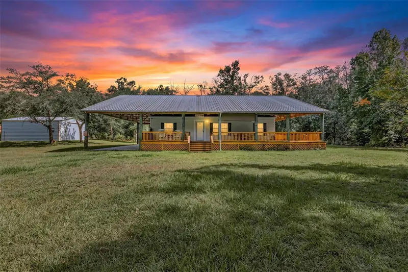
3 bd · 2 ba · 1,144 sqft
Tiger Island
MLS ID #OM734005, ANDERSON LEGACY REALTY.
Listing provided by Stellar MLS
$782,400
7450 Sw State Road 24
Cedar Key, FL 32625
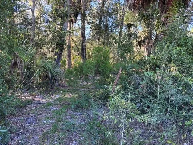
38.12 acres
MLS ID #GC544277, DRUMMOND REALTY, INC..
Listing provided by Stellar MLS
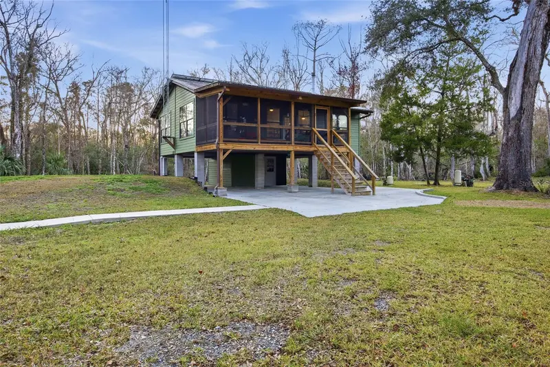
$799,000
Track 79 Clayton Rd
Cedar Key, FL 32625
2 bd · 1 ba · 1,000 sqft
Tiger Island 79
MLS ID #OM716937, KELLER WILLIAMS CORNERSTONE RE.
Listing provided by Stellar MLS
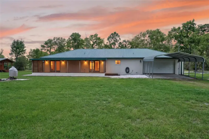
$410,000
10550 Sw 52nd Pl
Cedar Key, FL 32625
2 bd · 2 ba · 2,356 sqft
MLS ID #GC542600, PEPINE REALTY.
Listing provided by Stellar MLS

Listings courtesy of Stellar MLS as distributed by MLS GRID
IDX information is provided exclusively for consumers’ personal, non-commercial use and may not be used for any purpose other than to identify prospective properties consumers may be interested in purchasing.
Based on information submitted to the MLS GRID as of July 13, 2026 at 5:38 PM ET. All data is obtained from various sources and may not have been verified by broker or MLS GRID. Supplied Open House Information is subject to change without notice. All information should be independently reviewed and verified for accuracy. Properties may or may not be listed by the office/agent presenting the information.
All or a portion of the multiple listing information is provided by Stellar MLS, from a copyrighted compilation of listings. The compilation of listings and each individual listing are © 2026 Stellar MLS. All rights reserved.
Ryan Solberg, Broker · MaxLife Realty LLC · FL License #BK3354351 · Equal Housing Opportunity · Full disclaimer · DMCA