
$196,900
150th Ave Road
Fort Mc Coy, FL 32134
Listing updated: July 16, 2026 at 10:35 AM ET
Listing courtesy of Re/Max Foxfire - Hwy 40 · Owen Boone · MLS #OM699895 · Active · 352-732-3344Property type
Lot size
Price / sq ft
HOA dues
Days on market
Flood zone
About this home
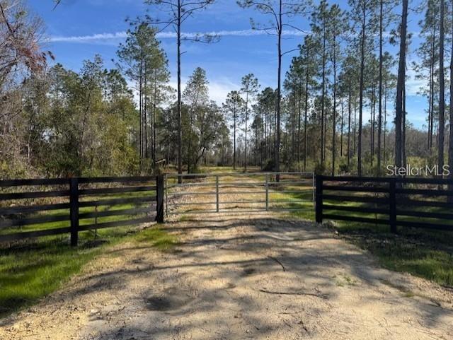
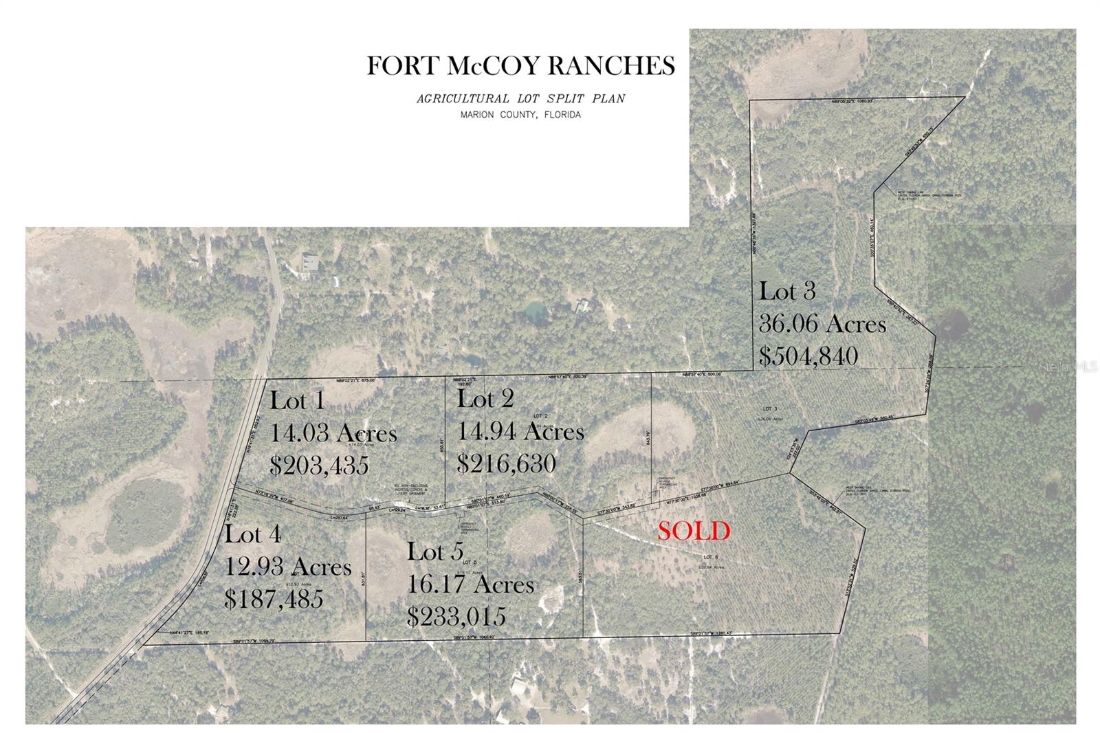
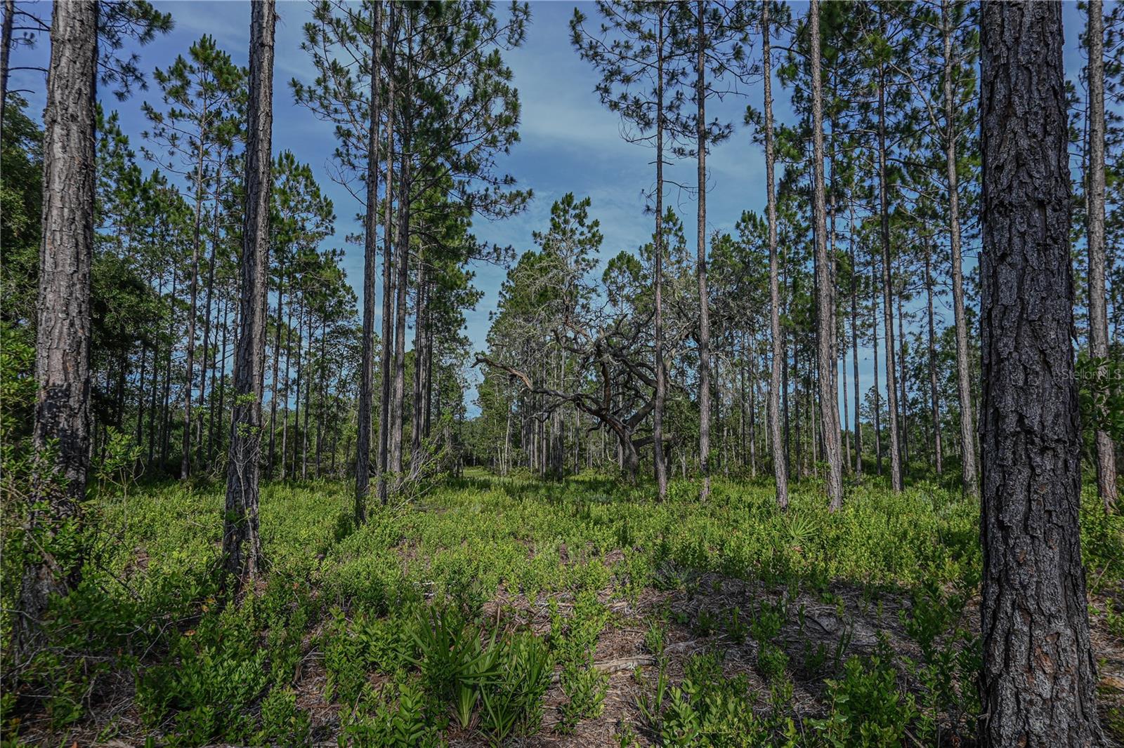
Looking for the perfect place to build, hunt, or simply enjoy the outdoors? This beautiful 14-acre property in Fort McCoy offers the kind of setting that's becoming harder to find. With paved road frontage on 150th Street, you'll enjoy easy access while still having the peace and privacy of country living. The land is a beautiful mix of planted pines, mature oak trees, and native Florida landscape, giving it that classic Old Florida feel. Established roads and trails make it easy to explore the property, whether you're riding ATVs, checking hunting spots, or planning your future homesite. Bordering the Florida Greenway, this property is ideal for anyone who loves the outdoors. Build your dream home or farm, create a private hunting retreat, or enjoy it as a weekend getaway. Wildlife is abundant, and the surrounding natural landscape offers endless opportunities for recreation. You'll also be just minutes from the Ocklawaha River, where you can spend your days fishing, boating, or kayaking one of Florida's most scenic waterways. Whether you're looking for a place to put down roots or your own private escape, this 14-acre tract offers the space, location, and natural beauty to make it happen. Come see what makes this property such a special piece of Old Florida. This rare Florida Treasures sn tucked in to the live oaks and spring hammocks of Marion County. It's not often that you find a parcel this large that borders state conservation land. The property is loaded with with whitetail deer and Osceola Turkey, it is an outdoor enthusiasts dream find! Property Just recently got approval for an AG Lot Split and features 6 separate lots.
Estimated monthly payment
Estimate only. Taxes use the listing's reported amount where available; insurance is a Florida-average estimate. Your actual payment will vary — run a full calculation or talk to a lender.
Price & listing history449 days on market
- Status: ActiveJan 2, 2026
- Listed$203,435Apr 21, 2025
- Price reduced$196,900
Facts & features
- Property type
- Land
- Status
- Active
- Days on market
- 449
- Subdivision
- Na
- County
- Marion
- Price/sq ft
- $0
- Lot size
- 611,146 sq ft
- Lot category
- 10 to less than 20
- Flood zone
- A
- Annual taxes
- $23 (2024)
- Parcel #
- 10430-103-01
- Zoning
- AG
- MLS #
- OM699895
Ask about this home
Have a question? Ask the broker directly.
Ryan Solberg answers personally — no call center, no spam. Your question goes straight to him.
HOA & Financial
- Total monthly fees
- $0/mo
- Total annual fees
- $0
- Ownership
- Fee Simple
Exterior & Construction
- Road surface
- Dirt, Paved
Utilities
- Sewer
- Septic Needed
- Water source
- Private
- Utilities
- Electricity Available, Water Available
Listing Details
- Listing date
- 2025-04-21
- On market date
- 2025-04-21
- Original list price
- $203,435
- MLS area
- 32134 - Fort Mc Coy/Salt Springs
- Listing AOR
- Ocala - Marion
- Status changed
- 2026-01-02
- Tax legal description
- LOT 1 BEING MORE PARTICULARLY DESC AS: COM AT NE COR OF NW 1/4 OF SEC 32 TH S 89-02-21 W 192.60 FT TO THE POB TH S 650.61 FT TH S 80-01-07 W 53.61 FT TO POC OF A CURVE CONCAVE NORTH HAVING A RADIUS OF 250 FT & A CENTRAL ANGLE OF 26-46-12 TH WLY ALONG ARC OF SAID CURVE 116.81 FT A CHORD BEARING & DISTANCE OF N 86-35-47 W 115.75 FT TO PT OF REVERSE CURVE CONCAVE SOUTH HAVING A RADIUS OF 250 FT & A CENTRAL ANGLE OF 29-37-11 TH WLY ALONG ARC OF SAID CURVE 129.24 FT A CHORD BEARING & DISTANCE OF N 88-01-07 W 127.81 FT TH S 77-10-08 W 95.43 FT TO POB OF A CURVE CONCAVE NORTH HAVING A RADIUS OF 500 FT & A CENTRAL ANGLE OF 29-31-23 TH WLY ALONG ARC OF SAID CURVE 257.64 FT A CHORD BEARING & DISTANCE OF N 88-04-11 W 254.80 FT TH N 73-18-29 W 407.08 FT TH N 16-14-31 E 552.93 FT TH N 89-02-21 E 875 FT TO THE POB
Flood risk
FEMA Special Flood Hazard Area (1% annual-chance / “100-year” floodplain). Flood insurance is generally required by mortgage lenders.
Source: FEMA flood zone reported on the listing. Confirm current designation at FEMA Flood Map Service Center.
Location
Directions
Driving North on Hwy 315 Turn right on to NE 105th Street Veer left on to NE 150th AVE RD Property is located 2 miles down on the right
More homes like this
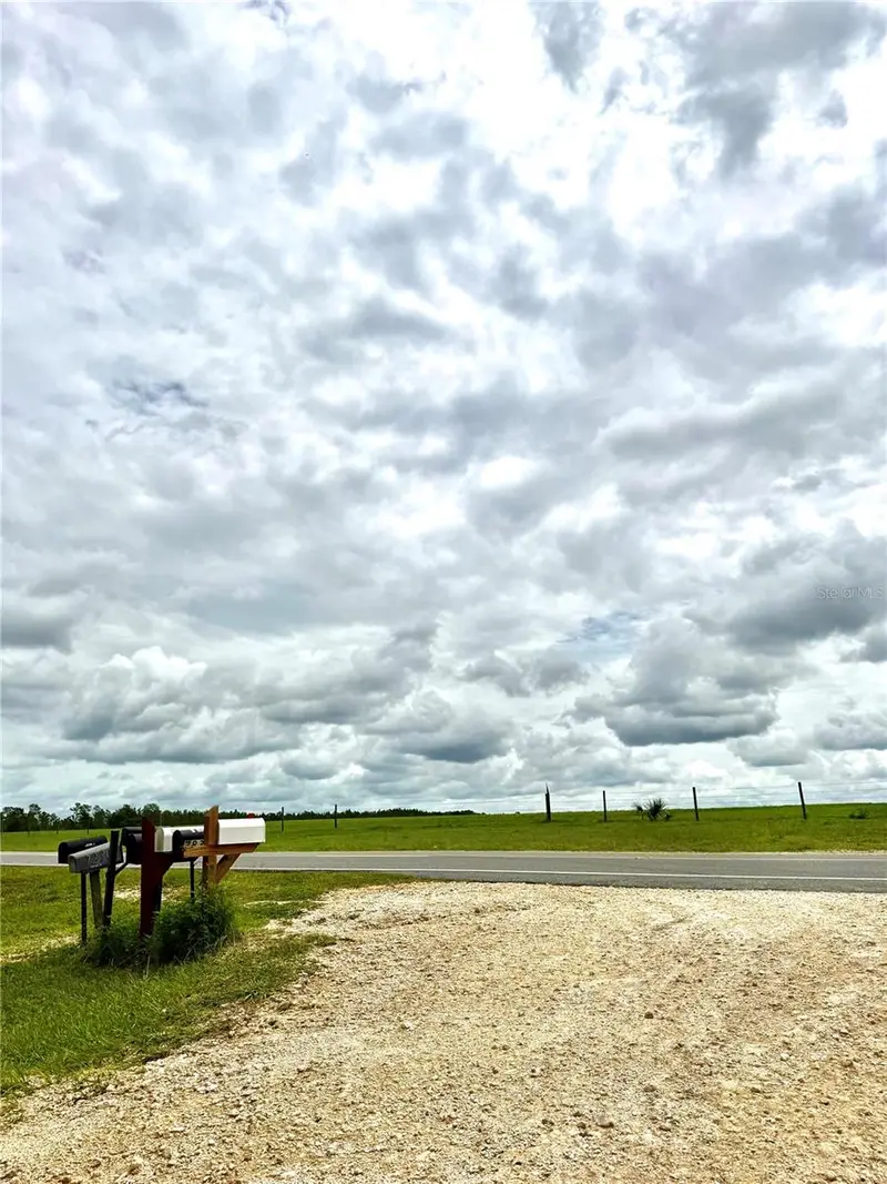
$50,000
12790 Ne 78 Ter
Bronson, FL 32621
1.25 acres
Na
MLS ID #GC541906, JABBAR & ASSOCIATES REALTY LLC.
Listing provided by Stellar MLS
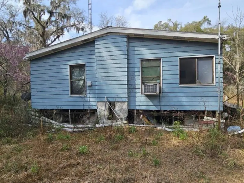
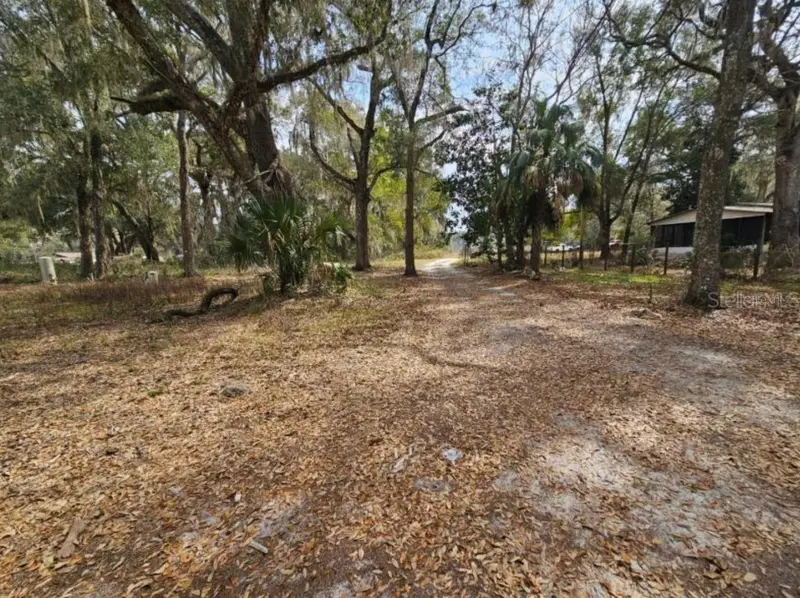
$65,000
4210 Ne 175th Street Rd
Citra, FL 32113
3 bd · 2 ba · 1,400 sqft
Na
MLS ID #G5113523, EXP REALTY LLC.
Listing provided by Stellar MLS
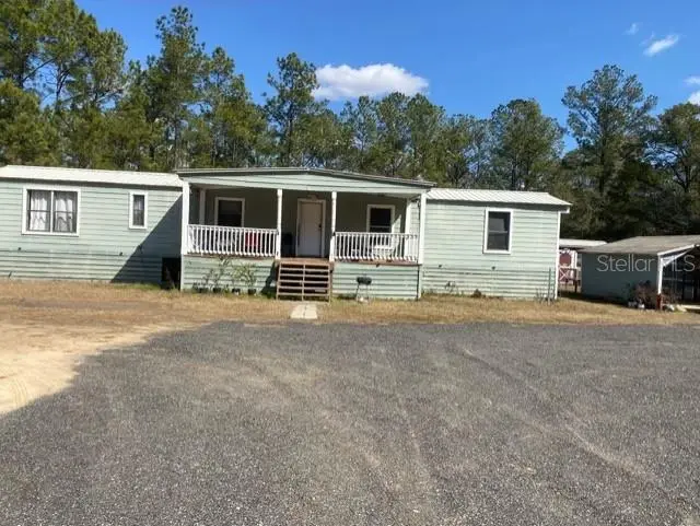
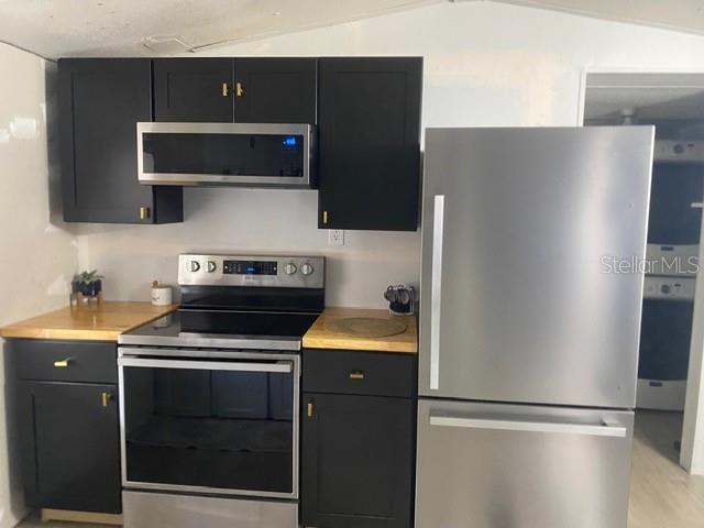
$100,000
2789 Meridith Ln
Ponce De Leon, FL 32455
2 bd · 2 ba · 924 sqft
Na
MLS ID #O6383060, ATLANTIC REAL ESTATE BROKERS L.
Listing provided by Stellar MLS
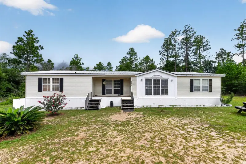
$135,000
1675 Aspalaga Rd
Quincy, FL 32351
3 bd · 2 ba · 1,726 sqft
Na
MLS ID #TB8527573, TOP BROKERAGE, LLC.
Listing provided by Stellar MLS

Listings courtesy of Stellar MLS as distributed by MLS GRID
IDX information is provided exclusively for consumers’ personal, non-commercial use and may not be used for any purpose other than to identify prospective properties consumers may be interested in purchasing.
Based on information submitted to the MLS GRID as of July 16, 2026 at 10:35 AM ET. All data is obtained from various sources and may not have been verified by broker or MLS GRID. Supplied Open House Information is subject to change without notice. All information should be independently reviewed and verified for accuracy. Properties may or may not be listed by the office/agent presenting the information.
All or a portion of the multiple listing information is provided by Stellar MLS, from a copyrighted compilation of listings. The compilation of listings and each individual listing are © 2026 Stellar MLS. All rights reserved.
Ryan Solberg, Broker · MaxLife Realty LLC · FL License #BK3354351 · Equal Housing Opportunity · Full disclaimer · DMCA