
$149,000
Carr. 542 Bo. Jauca, Sector Cayure Predio 119
Santa Isabel, PR 00757
Listing updated: May 20, 2026 at 12:44 PM ET
Listing courtesy of Island Real Estate Group Llc · Alexander Lau · MLS #PR9118123 · Active · 201-255-2115Property type
Lot size
Price / sq ft
HOA dues
Days on market
Flood zone
About this home
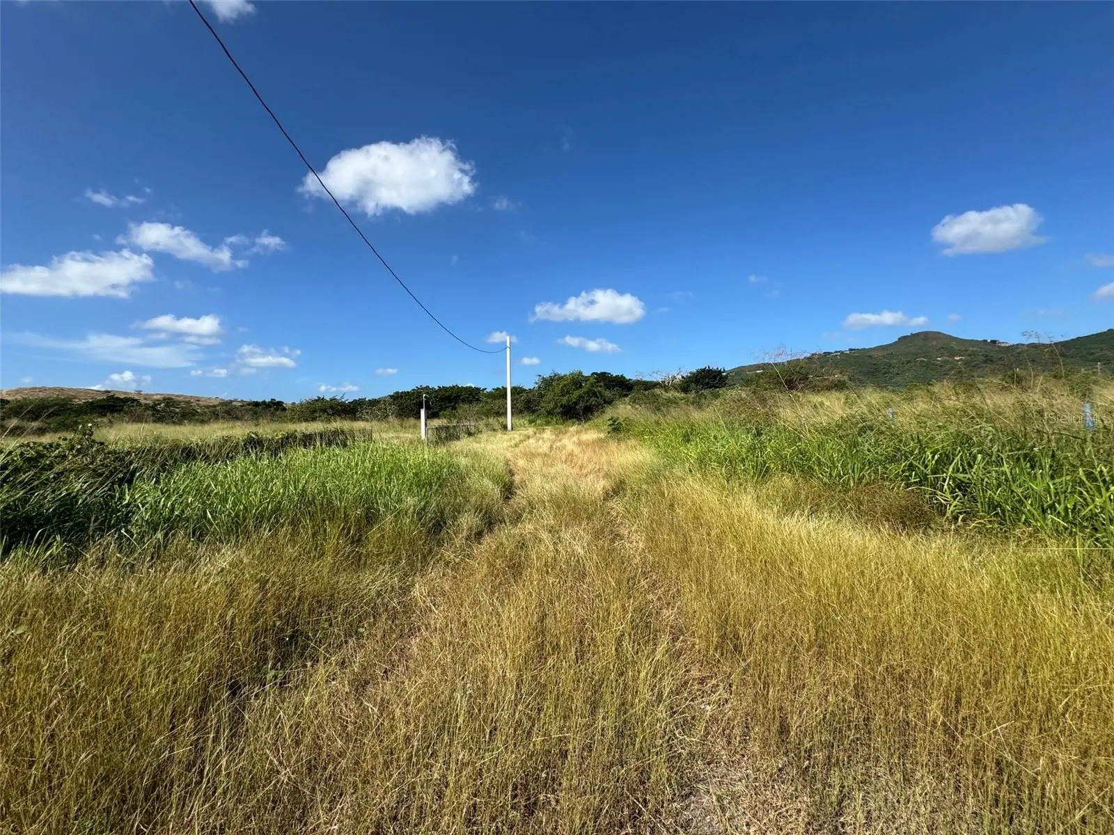
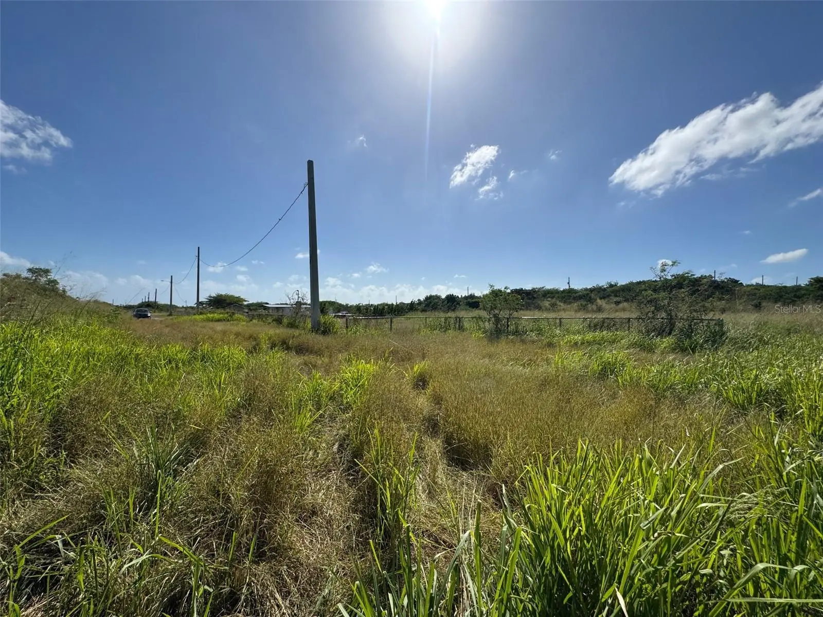
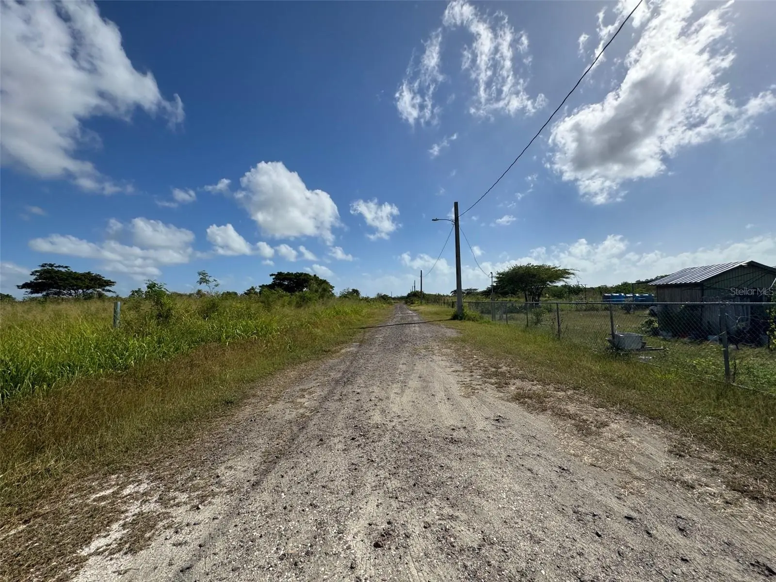
Excellent opportunity to own 1.04 cuerdas (~1.01 acres / approx. 44,100 sq ft) of agricultural land in Santa Isabel, PR, located in Barrio Jueyes, Sector Cayure. Zoned SREP-A, allowing agricultural use and the potential to build a single-family home. The property features an adjacent irrigation water canal, ideal for farming. Conveniently close to Autopista Luis A. Ferré (PR-52), offering easy access while maintaining a peaceful rural setting. Approximate coordinates: 18.010040, -66.363136. Great investment—call for details.
Estimated monthly payment
Estimate only. Taxes use the listing's reported amount where available; insurance is a Florida-average estimate. Your actual payment will vary — run a full calculation or talk to a lender.
Price & listing history149 days on market
- Status: ActiveDec 22, 2025
- Listed$149,000Dec 22, 2025
- Price increased$149,000
Facts & features
- Property type
- Land
- Status
- Active
- Days on market
- 149
- County
- Santa Isabel
- Price/sq ft
- $3
- Lot size
- 44,111 sq ft
- Lot category
- 1 to less than 2
- Flood zone
- X
- Parcel #
- 393-062-353-26-000
- Zoning
- SREP-A
- MLS #
- PR9118123
Ask about this home
Have a question? Ask the broker directly.
Ryan Solberg answers personally — no call center, no spam. Your question goes straight to him.
HOA & Financial
- Total monthly fees
- $0/mo
- Total annual fees
- $0
- Ownership
- Fee Simple
Exterior & Construction
- Road surface
- Gravel
Utilities
- Sewer
- None
- Water source
- None
- Utilities
- Other
Listing Details
- Listing date
- 2025-12-22
- On market date
- 2025-12-22
- Original list price
- $149,000
- MLS area
- 00757 - Santa Isabel
- Listing AOR
- Puerto Rico
- Status changed
- 2025-12-22
Flood risk
Minimal-risk area outside the mapped floodplain. Flood insurance is optional and typically low-cost.
Source: FEMA flood zone reported on the listing. Confirm current designation at FEMA Flood Map Service Center.
Location
Directions
From PR-52 (Autopista Luis A. Ferré), take the Santa Isabel exit, continue toward Barrio Jueyes, and follow local roads to Sector Cayure. Use GPS coordinates 18.010040, -66.363136 for exact location.
More homes like this
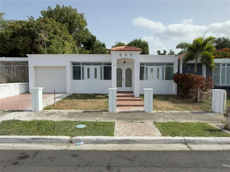
$200,000
O-12 Principal Extension Jardines De Santa Isabel
Santa Isabel, PR 00757
3 bd · 1 ba · 1,350 sqft
Extension Jardines De Santa Isabel
MLS ID #PR9123174, SOSA REAL ESTATE PR.
Listing provided by Stellar MLS
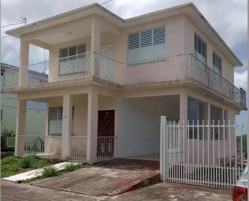
$230,000
D Urb. El Eden D-7
Coamo, PR 00769
4 bd · 2 ba · 1,500 sqft
Urb. Extension El Eden, Coamo
MLS ID #PR9114865, REALITY REALTY.
Listing provided by Stellar MLS
$210,000
Bo. Bayamoncito
Aguas Buenas, PR 00703
14.42 acres
MLS ID #PR9112073, SONIA PACHECO.
Listing provided by Stellar MLS

Listings courtesy of Stellar MLS as distributed by MLS GRID
IDX information is provided exclusively for consumers’ personal, non-commercial use and may not be used for any purpose other than to identify prospective properties consumers may be interested in purchasing.
Based on information submitted to the MLS GRID as of May 20, 2026 at 12:44 PM ET. All data is obtained from various sources and may not have been verified by broker or MLS GRID. Supplied Open House Information is subject to change without notice. All information should be independently reviewed and verified for accuracy. Properties may or may not be listed by the office/agent presenting the information.
All or a portion of the multiple listing information is provided by Stellar MLS, from a copyrighted compilation of listings. The compilation of listings and each individual listing are © 2026 Stellar MLS. All rights reserved.
Ryan Solberg, Broker · MaxLife Realty LLC · FL License #BK3354351 · Equal Housing Opportunity · Full disclaimer · DMCA