· 6 min read· By Ryan Solberg, Broker #BK3354351
Brevard County Flood Zones: What Home Buyers and Sellers Need to Know
A practical guide to FEMA flood zones in Brevard County — how to look up a property's flood zone, what Zone AE vs Zone X means for insurance and lending, and how flood zone designation affects value and cost.
Brevard County has a diverse flood risk profile — from essentially no flood risk for inland properties miles from any waterway, to significant exposure for oceanfront and lagoon-front barrier island properties. Understanding flood zones before buying or selling is critical for accurate cost modeling.
Brevard County flood zone overview
Brevard County's flood zones follow the physical geography of the county:
Inland (X zones): The majority of Brevard's developed land area — western Palm Bay, Melbourne residential neighborhoods away from waterways, central and west Rockledge, Viera's master-planned communities, most of Titusville's developed areas — carries Zone X (minimal flood hazard). Inland Brevard buyers face minimal flood insurance costs or requirements.
The barrier island (mix of AE and VE): The 72-mile barrier island running from Canaveral National Seashore to Sebastian Inlet concentrates Brevard's highest flood risk. Properties on the oceanfront carry Zone VE (wave hazard) designations; properties in the interior of the island transition to AE (floodplain) and eventually X in higher-elevation sections. The specific zone depends on the property's distance from the ocean, elevation, and local topography.
Canal systems and waterway-adjacent (AE): Interior canal systems throughout Brevard — particularly in Palm Bay's Port Malabar area, Merritt Island's canal networks, and areas adjacent to the Indian River and Banana River — often carry AE zone designations. These properties face mandatory flood insurance if mortgaged, though elevation certificates sometimes allow more favorable rating.
How flood zone affects buying decisions
Lending requirements
A federally backed mortgage (FHA, VA, Fannie Mae/Freddie Mac conventional) on a property in a Special Flood Hazard Area (A or V prefix zones) requires flood insurance as a condition of the loan. The lender will order a flood zone determination and require flood insurance proof at closing.
Cash buyers face no mandatory requirement, but purchasing an AE or VE property without flood insurance is imprudent — the financial exposure in a flood event can dwarf the annual insurance cost.
Risk Rating 2.0 pricing changes
FEMA's Risk Rating 2.0, implemented in 2021, changed how NFIP flood insurance is priced. Under the old system, flood zones drove pricing — being in a Zone X meant low premiums, AE meant higher. Under Risk Rating 2.0, FEMA prices based on property-specific factors:
- Distance from water
- Foundation type (elevated vs. slab-on-grade)
- First-floor height above ground
- Replacement cost value
- Proximity to multiple water sources
The result: some properties in AE zones saw premium decreases (because their specific elevation and construction reduces their true risk); others saw significant increases. Never assume the previous owner's flood insurance premium will match what you'll pay — get a flood insurance quote specific to your situation before closing.
The transferable NFIP policy advantage
If a seller has an existing NFIP policy written before Rate Rating 2.0 changes took full effect, that policy may be transferable at the existing premium rate — potentially significantly below what a new policy on the same property would cost today. Always ask: "Does the seller have a current NFIP flood insurance policy, and is it transferable?" A transferable policy at legacy pricing can be worth $500–$2,000+/year in annual savings and is a material asset when buying in flood-prone areas.
Community-by-community flood zone context
Cocoa Beach
High concentration of AE and VE zones throughout the barrier island. Direct oceanfront carries VE; most other residential Cocoa Beach carries AE. Flood insurance is a significant line item for most Cocoa Beach homes — budget $1,500–$5,000+/year depending on property.
Satellite Beach / Indian Harbour Beach
Similar AE/VE profile to Cocoa Beach. The barrier island narrows in some sections, increasing AE zone prevalence even for non-oceanfront properties. The PSFB military community here has significant experience navigating VA loans on AE-zone properties — local lenders and agents are fluent in the process.
Melbourne Beach / Indialantic
South Brevard barrier island — similar AE/VE profile. Melbourne Beach has additional consideration of proximity to Sebastian Inlet and its associated tidal dynamics in some southern properties.
Merritt Island
Mixed profile. Canal-adjacent properties are frequently AE; higher-elevation interior sections carry X. The range across Merritt Island's various neighborhoods is wide — research the specific parcel rather than applying community-wide assumptions.
Palm Bay
Primarily Zone X for inland developed areas. Canal-system properties (Port Malabar) are often AE. West Palm Bay's new construction communities are predominantly X — this is one reason new construction there can offer lower total ownership costs than barrier island properties with comparable list prices.
Viera
Predominantly Zone X — Viera's master-planned development was sited on higher ground with flood-resistant design as a community standard. Minimal flood insurance cost exposure is one of Viera's less-discussed advantages over barrier island communities.
Rockledge
Mixed. Indian River Drive (lagoon-front) properties carry AE in many sections. Inland Rockledge is predominantly X. The contrast between Indian River Drive's AE flood insurance cost and its premium location pricing is a real total-cost-of-ownership consideration.
What to do before making an offer on any Brevard waterfront or water-adjacent property
- Look up the parcel's flood zone on FEMA's flood map (msc.fema.gov) before making an offer
- Get a flood insurance quote — contact a Florida-licensed insurance agent with flood experience and request a quote based on the specific property
- Ask for the seller's current flood insurance policy and premium — determine if it's transferable
- Request an elevation certificate if the property is in an AE zone — elevations above BFE reduce premiums significantly
- Ask about prior flood claims on the property — FEMA's flood claim history can affect future insurance pricing and may indicate drainage issues
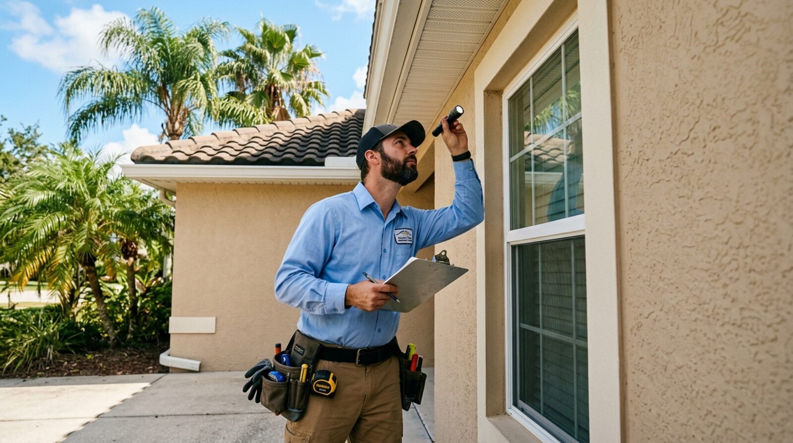
Ryan Solberg helps buyers navigate flood zone considerations throughout Brevard County — from identifying the specific zone and elevation before making an offer, to coordinating insurance quotes during the inspection period, to understanding how flood zone affects VA appraisals. Contact Ryan at 321.373.3536.
Frequently asked questions
- How do I look up a property's flood zone in Brevard County?
- Use FEMA's Flood Map Service Center at msc.fema.gov — enter the address and view the flood map for that location. Brevard County's GIS portal also provides flood zone data integrated with parcel information. Your title company or lender will order a flood zone determination letter as part of the mortgage process. The flood map is a public document — you can verify any property's zone designation before making an offer. Note that flood maps are periodically updated (LOMA — Letter of Map Amendment) and a property's designation may have changed since it last sold.
- What is the difference between Zone X, Zone AE, and Zone VE?
- Zone X: Minimal flood hazard — located outside the 100-year and 500-year floodplain. No mandatory flood insurance. Most inland Brevard properties are Zone X. Zone AE: 1% annual chance flood zone (called the 100-year floodplain). Mandatory flood insurance required for properties with federally backed mortgages. Base Flood Elevation (BFE) is established for these zones. Common on the barrier island west sides, Indian River Lagoon adjacent properties, and canal systems. Zone VE: Coastal high-hazard zone with wave velocity and surge — found on direct Atlantic oceanfront properties and some barrier island parcels. Highest insurance costs, most restrictive elevation and construction requirements. Zone AE is the most common SFHA designation in Brevard; Zone VE is limited primarily to direct oceanfront.
- How much does flood insurance cost in Brevard County?
- Flood insurance costs under FEMA's Risk Rating 2.0 (implemented 2021) are property-specific rather than zone-average. Rough estimates for Brevard: Zone X properties — no mandatory requirement, optional coverage runs $300–$800/year through the NFIP. Zone AE barrier island properties — $1,200–$4,500+/year depending on elevation, structure type, and specific risk factors. Zone AE mainland (canal/lagoon front) — $800–$2,500/year. Zone VE oceanfront — $3,000–$8,000+/year, sometimes higher on older or lower-elevation structures. Private flood insurance markets (not NFIP) are increasingly active in Florida and sometimes offer lower premiums on specific risk profiles — worth comparing for AE and VE properties.
- Can a property be removed from a flood zone (LOMA)?
- Yes — a Letter of Map Amendment (LOMA) or Letter of Map Revision (LOMR) can remove a specific property or structure from a Special Flood Hazard Area designation if an elevation survey demonstrates the lowest adjacent grade of the structure is above the Base Flood Elevation. The LOMA process requires hiring a licensed surveyor to conduct an elevation certificate and then submitting to FEMA. If granted, mandatory flood insurance requirements are removed for that property. LOMAs are more common for properties that were originally mapped as AE based on broad area flood maps — when a specific elevation survey shows the actual structure is above BFE, the LOMA corrects the designation.
The next step
Thinking about a move?
Whether you're two months out or two years out, the right information now saves real money later. Let's talk — no pressure, no pitch.